Journal
Where Are the Hamptons? A Geography Guide to the South Fork
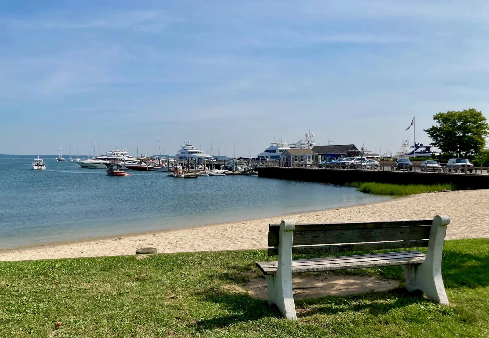
The Hamptons come up constantly in conversation and just as often get misplaced on a map. Here is where the region actually sits, what it's made of, and how the towns inside it relate to one another.
The short answer
The Hamptons occupy the South Fork of Long Island, the easternmost stretch of New York State, about two hours by car from Manhattan without traffic. They are not a single town or a single beach — the name covers a string of villages and hamlets running from roughly Southampton in the west to Montauk at Long Island's easternmost tip, bordered by the Atlantic Ocean to the south and the Peconic Bay to the north.
Long Island's two forks, and why it matters
Long Island splits into two peninsulas at its eastern end, commonly called the North Fork and the South Fork. The North Fork is quieter and more agricultural, known for vineyards and the town of Greenport. The South Fork is the Hamptons — the more developed, more visited, more written-about half, where farmland and beach towns sit side by side rather than one replacing the other.
Confusing the two forks is the single most common Hamptons geography mistake. If a map shows wine country north of a bay with a ferry town at the tip, that's the North Fork. The Hamptons run along the south shore, facing the open Atlantic.
The hamlets that make up "the Hamptons"
"The Hamptons" is really shorthand for a chain of distinct communities, each with its own character, strung along Route 27 and the coast.
- Southampton — the westernmost and one of the oldest of the Hamptons villages, with a substantial year-round town center.
- Water Mill and Bridgehampton — the agricultural heart of the South Fork, where farm stands and vineyards sit minutes from the ocean.
- Sagaponack and Wainscott — smaller, quieter, largely residential stretches between the bigger villages.
- East Hampton — a historic village core with some of the region's most recognized beaches nearby.
- Sag Harbor — a former whaling village on the bay side, with the Hamptons' most walkable Main Street.
- Montauk — the final stretch of Long Island, more beach-town and surf culture than manicured village, ending at the Montauk Point lighthouse.
Where "the Hamptons" ends
Locals draw the boundary differently depending on who's asking, but the practical answer is that the Hamptons run from Southampton through Montauk, with Westhampton — further west, closer to the highway split — often treated as a separate, less central area rather than core Hamptons.
How far from New York City, and how to get there
By car, the drive from Manhattan to the western edge of the Hamptons runs about two hours outside peak traffic, and can stretch considerably longer on a summer Friday evening. The Long Island Rail Road's Montauk branch runs the same corridor by train, and seasonal ferry and jitney services add alternatives in the busiest months. However you travel, the trip is a real one, not a day-trip suburb — which is part of why the region rewards a longer stay rather than a rushed weekend.
Common questions about the geography
Is Montauk part of the Hamptons? Yes, geographically — Montauk sits at the eastern end of the same South Fork chain. It reads differently than the villages closer to Southampton, with more surf shops than boutiques, but it shares the same stretch of land and the same two-hour distance from the city.
Are the Hamptons an island? No. They're part of Long Island, which is itself a single landmass connected to the rest of New York State — not a separate island you need a bridge or ferry to reach, though a car, train or seasonal ferry all work depending on where you're coming from.
What's the closest hamlet to New York City? Westhampton sits nearest the highway split, with Southampton as the westernmost of the villages most people consider core Hamptons. Both cut real time off the drive compared with reaching Montauk at the far end.
Do the Hamptons change with the seasons? Considerably. Summer is the version most people picture — full towns, busy beaches, weekend traffic — but spring and fall bring a quieter, slower South Fork, and each season shifts what the region is actually good for.
Why the geography shapes how you should visit
Because the Hamptons stretch across so many distinct hamlets, where you stay changes what your visit actually feels like. A base in Southampton or Bridgehampton puts you close to the agricultural heart of the South Fork — farm stands, vineyards, and a short hop to the ocean. Sag Harbor trades some beach proximity for village life you can walk. Montauk trades village polish for open coastline and a slower, saltier pace.
For the fuller picture of what to actually do once you know where you are, see our guide to a long weekend or summer in the Hamptons, which covers the rhythm of a Hamptons stay beyond the map.
Where to stay, once you know where you are
Seasonal's Hamptons residences sit in two of the South Fork's defining hamlets. Hubbard House is set south of the highway in Southampton, close to the beach and the village's walkable core. Sea Farm sits in Bridgehampton, in the agricultural heart of the region, with room for a larger group. Both run on the same thirty-night-minimum structure as the rest of the collection, built for a real season rather than a single weekend.
See the full Hamptons collection for the complete picture of the region, hamlet by hamlet, and what a season there actually looks like.


